
By Dr Tom Slater, Research Fellow in land ice altimetry at the University of Leeds
Our planet is unique. At any one time on Earth, water exists in all three states of matter: solid, liquid and gas.
As a solid, water is locked away as ice at the poles and within mountain ranges. As a liquid, it flows through streams and rivers, and is stored in lakes and oceans. As a gas, it is found as water vapour in the atmosphere.
Away from the oceans, the majority of Earth’s remaining water is trapped as ice, either on land in mountain glaciers scattered across the globe, or in two massive ice sheets: Antarctica, a continent of its own sitting on the south pole, and Greenland, the world’s largest island.
These are some of the most beautiful landscapes on our planet, but they are also some of the least visited. It is easy to feel cut off from these frozen worlds.
Even so, all water across our planet is connected, and changes in the ice can affect almost every part of the global climate.
Currently more than a trillion tonnes of ice is lost each year.
Based on current trends, the Arctic Ocean will be ice-free in summer by 2050.
Ice loss and climate change
In many areas, Earth’s ice exists relatively close to its melting point. Only a small increase in global temperatures has been needed – 1.1 degree Celsius since 1880 – to warm the oceans and the atmosphere enough to melt significant amounts of ice.
Global Temperature Anomalies from 1880 to 2021 (courtesy of NASA's Scientific Visualization Studio)
It is vital we monitor Earth’s ice to understand where and how it is changing and to plan for the future. These regions are so remote and so vast – Antarctica is 61 times larger than the UK – that doing so is only possible through the use of satellites.
Image
Why satellites are critical to fighting climate change
Orbiting at breakneck speeds hundreds of kilometres above us, satellites observe both poles almost in their entirety. By frequently revisiting the same locations as they circle the Earth, satellites are our only means of routinely monitoring regional and continental-scale changes in ice cover.
Earth observation satellites continuously image ice from above in various bands of the electromagnetic spectrum. These include visible frequencies, where they operate much like a camera, and microwave frequencies, which see through clouds and the long, dark polar winter.
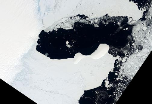
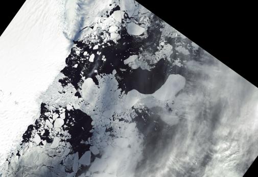
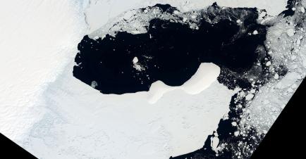
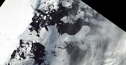
Since the 1970s, satellite imagery has mapped changes in the structure and extent of glaciers and the colossal Antarctic ice shelves, formed as ice flows off the Antarctic continent to float on the ocean. As ice flows slowly downhill – much like a blob of treacle – satellites can track distinctive features such as crevasses as they move, and measure the speed of the ice.
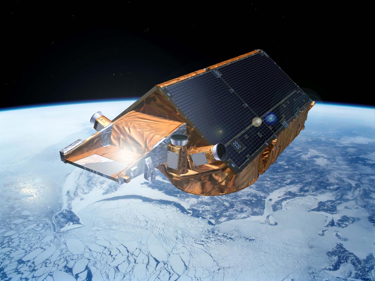
Satellites such as CryoSat-2 (pictured), which I use extensively in my research and was launched in 2010 by the European Space Agency, map changes in the shape of ice with centimetre-level precision. They work by timing how long it takes for a pulse of electromagnetic radiation to reflect from the Earth’s surface and travel back to the satellite.
By combining data from various satellites and monitoring how ice speed and shape evolves over time, scientists can keep track of how Earth’s ice is responding to its changing environment.
Satellites have completely transformed our understanding since they began to systematically and comprehensively observe Earth’s ice in the 1990s.
They have revealed that the Antarctic and Greenland ice sheets are now losing more ice through melting than can be replenished through snowfall. At the beginning of this period, it was thought that Antarctica and Greenland would be innocent bystanders, taking hundreds of years to respond to changes in global temperatures.
Instead, satellite observations have shown that the ice sheets are responding to climate change within just my lifetime. Antarctica and Greenland are now losing ice six times faster than they were in the 1990s. Antarctica is being weakened from beneath by warmer ocean waters, while Greenland's ice is melting more in the summer as the atmosphere warms.
Credits
Thanks to satellites, we are now in a position where we are able to assess ice loss not just from the ice sheets but from every corner of our planet.
Combining satellite data acquired over 200,000 mountain glaciers, the Greenland ice sheet, the Antarctic ice sheet and the ice shelves which fringe it, and sea ice drifting in the Arctic and Southern Oceans, my colleagues and I discovered that Earth has lost 28 trillion tonnes of ice since the early 1990s – equivalent to sheet of ice 100 metres thick spread across the UK.
This ice loss has affected almost every aspect of our environment: raising global sea levels and with it the threat of storm surge flooding in coastal cities worldwide; endangering ecosystems which support communities and wildlife; and amplifying climate change by reducing our planet’s ability to reflect solar radiation into space.
While this may sound bleak, our path to tackling climate change has never been clearer, and is not beyond our reach.
Satellites have illuminated the way. They monitor not only Earth’s ice but almost every aspect of the climate system, from rising sea levels to the health of global forests, the concentration of greenhouse gases in our atmosphere and the change in global temperatures.
This information feeds into models which project how Earth’s climate will change during the course of this century and beyond, allowing us to better plan for the challenges ahead.
Without satellites we would be blind to the true status of global climate change. After shedding light on one of the most significant challenges facing modern society, my hope is in the near future they will guide us on the road to recovery, revealing our actions over the coming decade have slowed many of the adverse trends we have observed in Earth’s climate to date.
And, of course, thanks to our understanding gained from satellites, we now know we should look towards Earth’s ice, which will be one of the first regions to recover as we chart a more sustainable future.
Want to learn more?

Our Ocean, Our Planet
This guest essay is published as part of Our Ocean, Our Planet, an online space at the National Maritime Museum dedicated to exploring ocean issues, the climate crisis and our changing relationship with the sea
Main image: Glacier Bay Alaska (contains modified Copernicus Sentinel data 2021, processed by ESA, CC BY-SA 3.0 IGO)
Artist's impression of CryoSat-2 courtesy of ESA – P. Carril