
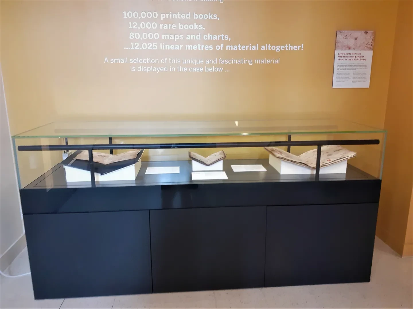
The Caird Library and Archive’s display case highlighted three colourful charts from the rich cartographic collection of Royal Museums Greenwich.
For this display case we showed three charts all linked to the Oliva family of mapmakers. These charts are of a type known as portolan charts. Portolans come in many shapes and sizes but share distinctive characteristics. These included place names written at right angles to the coast, and crisscrossing lines, known as rhumb lines, that indicate compass bearings.
The purpose of portolans varied. Some were made and used for practical navigation while others were created as luxury objects destined for the libraries of wealthy collectors.
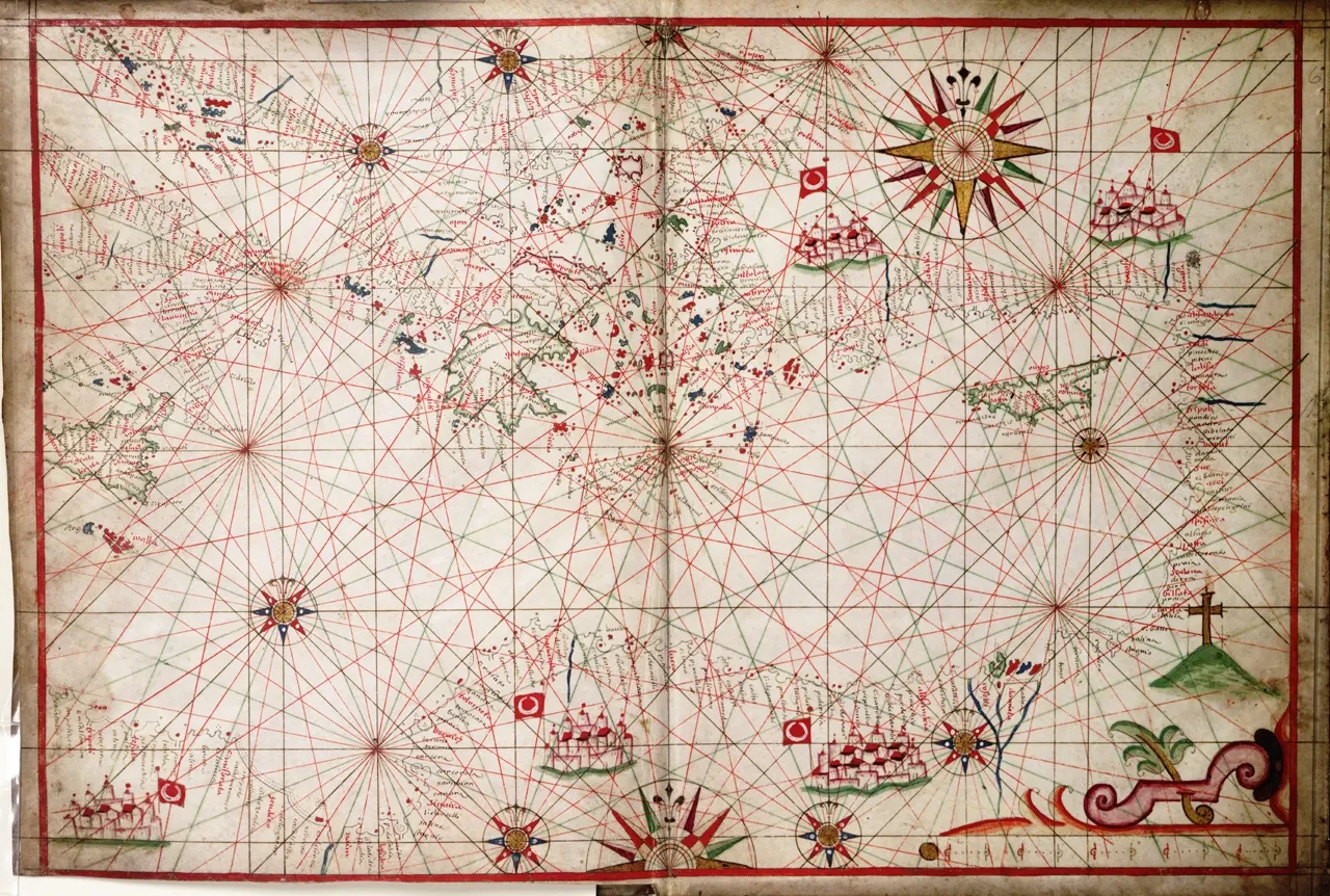
Most portolan charts show the coastlines of the Mediterranean and include drawings of port cities and associated heraldry. One of the charts on display is by Joannes Oliva and shows the western Mediterranean.
In the south-west it depicts the island of Malta, which is coloured red with a white cross. This was the flag of the Order of the Knights Hospitaller of St John, a Catholic military order who were granted the island as their headquarters by the Holy Roman Emperor from 1530.
Northerly waters were not familiar to Mediterranean mapmakers, including the Olivas. This meant that phantom islands often appeared on charts of the northern Atlantic Ocean. One of the charts on display depicts the British Isles and includes islands called Frislanda and Stilanda and the mythical island of Brasil to the west of Ireland.
Also on display was a chart of Brazil and the central Atlantic Ocean.
Early charts from the Mediterranean was on display until May 2022.
Written with Stawell Heard, Librarian, Acquisitions and Cataloguing.

Explore the Collection
From maps and manuscripts to private journals and periodicals, find out more about the 2.5 million-plus items held by Royal Museums Greenwich