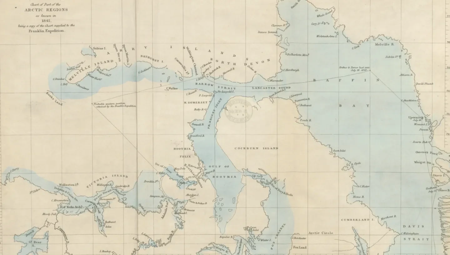
Latitude and longitude are the coordinates normally used for locations on Earth.
Latitude (how far to the north or south)
Latitude is the distance north or south of the equator, measured as an angle from the centre of the Earth, and runs from 0° at the equator to 90° at the north and south poles. Each degree of latitude corresponds to sixty nautical miles (111.1 km) on the Earth’s surface. Lines of latitude run parallel to the equator.
Longitude (how far to the east or west)
Longitude is the distance east or west measured from the Greenwich meridian and runs from 0° through Greenwich to 180° east and west on the other side of the globe. Until there was international agreement on this, longitudes might be measured from any meridian or reference point. London, Paris and many other places were used on different charts.
Find out more about the Meridian line at Greenwich
Latitude and longitude are divided into degrees (°), minutes (′) and seconds (″), with sixty minutes in a degree, sixty seconds in a minute. The Empire State Building in New York, for example, lies at a latitude of 40° 44′ 54″ north of the equator and a longitude of 73° 59′ 10″ west of Greenwich. Its position is written as 40° 44′ 54″ N, 73° 59′ 10″ W.
What can you use to measure longitude?
Latitude relates to something physical (the equator) and can be determined from the position of heavenly bodies such as the Sun or pole star, but longitude is more difficult because there are no natural references from which to measure.
Since longitude is a distance in the direction of the Earth’s daily rotation, the longitude difference between two places can be thought of as the difference between their local times as defined by the Sun’s position, local noon occurring when the Sun is highest in the sky. The Earth rotates through 360° in twenty-four hours, so one hour of time difference is equivalent to 15° of longitude. Put another way, the Earth turns through one degree of longitude every four minutes.
Most longitude schemes were based on this principle and relied on an observer determining the time both where they were and, simultaneously, at a reference point with a known geographical position. The difficult part was knowing what time it was at the reference location.


