Essential Information

Location

07 Jan 2016

Our Paper Conservator, Rosie-Faye Hart, has been busy conserving a map of Africa that's over 450 years old.

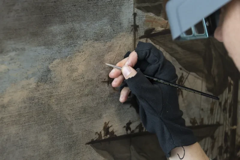
As part of an ongoing project, I assessed and carried out conservation treatment on a map of Africa, produced in 1564 by Giacomo Gastaldi, one of the most eminent cartographers of 16th Century Italy. The map is one of only a small number of copies in the world and comprises of eight individual sheets of copper-plate engravings. It displays an abundance of detail both in land and at sea, including the depiction of a wonderful array of finely engraved sea creatures.
                                         
Gastaldi’s map of Africa
 
The map is part of the Museum’s collection of unbound sea charts and maps which can be searched here. The collection ranges from the medieval period to the present day, and includes 51 loose printed charts and maps on hand-made paper, dating between the late 1400s and 1600, representing some of the Museum’s earliest paper items. The unbound charts and maps collection is housed in our new Sammy Ofer Wing stores and sequenced by geographical region, so that items of different ages and sizes are stored together. Due to earlier papers being smaller dimensionally, the oldest items were considered particularly vulnerable to damage and so I embarked upon a small-scale project of conservation and rehousing. Although, some examples of these charts may also be found within the bound atlases all copies prove valuable for research use. 
 
Gastaldi’s map of Africa
 
When working so closely with these objects, one of the most fascinating aspects for me has always been the story behind the making. Looking at all the details I can imagine the skilled hand engraving it and the bustle and smell of the printer’s workshop as the plate was inked, ready to be rubbed down and put through the roller press. I have even found the impression of someone’s fingerprint left in the ink; a reminder of the time that has passed since then.
 
Gastaldi’s map of Africa at the National Maritime Museum
          
The map was in a vulnerable condition and displayed a range of problems including stains and discolouration, numerous tears and losses, as well as localised cockling and misalignment of the printed areas caused by heavily adhered guards*. (*A guard is a paper extension strip adhered to the spine edge or the outside fold edge of a centrally folded paper item. This is then used to adhere or sew the item into a binding, which allows a folded item to open fully flat).
 
Gastaldi’s map of Africa at the National Maritime Museum
 
The map had also had a number of the margins cut away or folded in order to be displayed as a whole, resulting in damage caused by the drawing pins that were used to pin it up, and the subsequent indelicate removal from display. 
 
Gastaldi’s map of Africa at the National Maritime Museum
 
The conservation treatment was carried out over an eight week period and proved to be very successful. The discolouration and staining were reduced and realignment and further repairs have enhanced the potential future display value. New folders have significantly improved their storage and will reduce direct handling. Since completing conservation treatment the map has been photographed and the individual sheets digitally stitched together. This has enabled the Museum to facilitate the viewing of the map as a whole for the first time (see it here). This will have a direct impact on its long-term preservation and will allow improved direct cross-referencing with other maps and charts of Africa from this period. 
 
Gastaldi’s map of Africa at the National Maritime Museum