Essential information
| Location | |
|---|---|
| Date and times | Open daily | 10am-5pm |
| Price | Free |
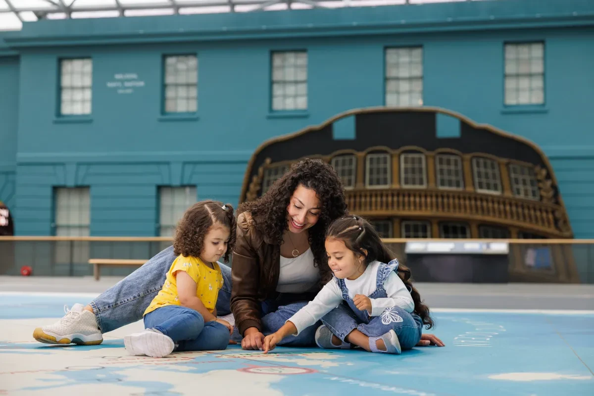
The giant Ocean Map at the centre of the National Maritime Museum turns our view of the world inside out.
While other maps focus on countries and land mass, the Ocean Map is all about water!
Run across the map, leap across oceans and discover why the ocean is vital to all life on Earth.
Ocean Map highlights
Image
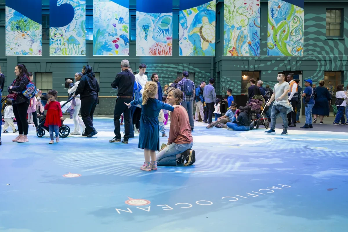
Take a journey round our blue planet
The Ocean Map looks a bit different to other world maps. Sometimes referred to as a 'map of the world according to fish', the Map is designed to show us how all the world's oceans are connected.
It's also really big! Sheltered from the weather by the glass roof of Ocean Court, it's the perfect place to let off steam while visiting the Museum.
Image
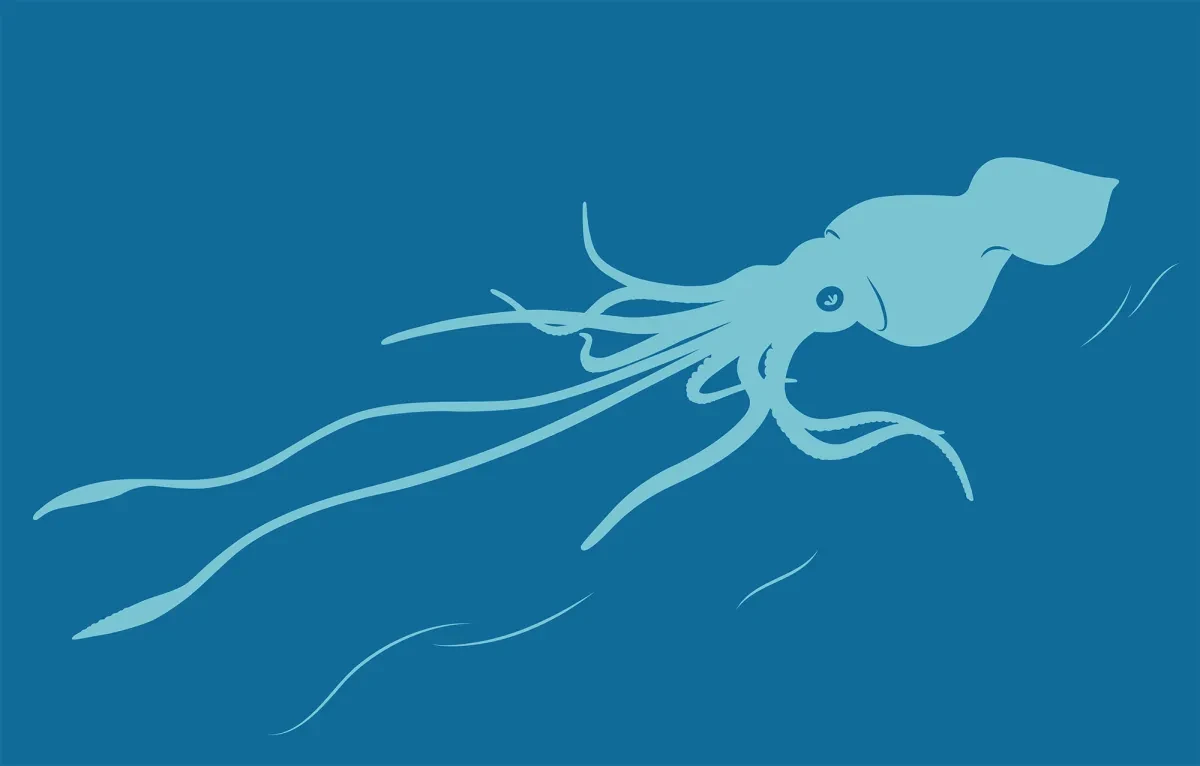
Spot sea creatures
Discover some of the most weird and wonderful creatures in the ocean!
From the colossal squid to the wandering albatross, the loggerhead turtle to the hammerhead shark, there are 20 hidden creatures dotted around the Ocean Map. Can you find them all?
Image
Find your home port
The Ocean Map may be big and blue, but you can find your way home if you want to!
Major global port cities are highlighted, showing the vital maritime links that keep our modern world turning. Plot a route across the seas and see where your journey takes you.
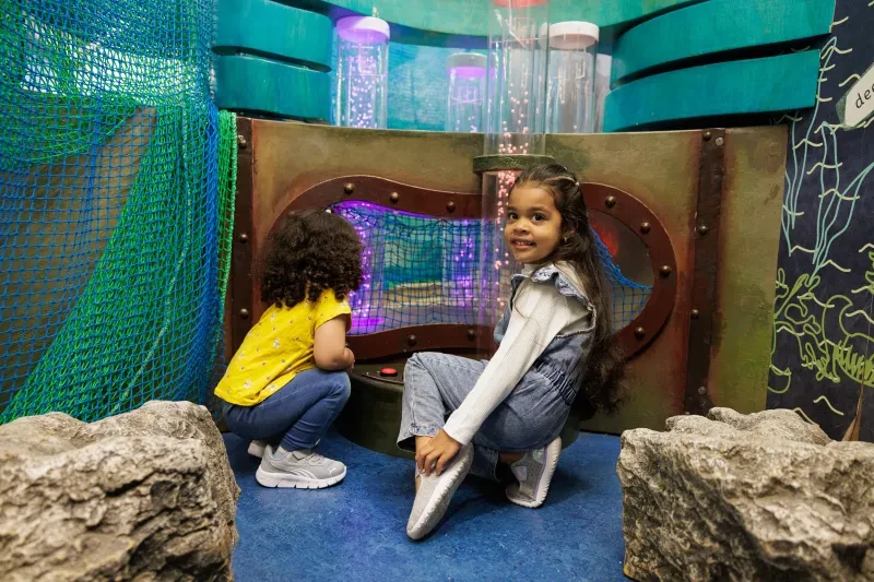
Find more places to play at the National Maritime Museum