It is often claimed that we know more about the surface of the Moon than we do about the bottom of the ocean – and in a way it’s true!

study in 2025 estimated that we have visibly observed less than 0.001 per cent of the deep sea floor, an area just a tenth of the size of Belgium. 

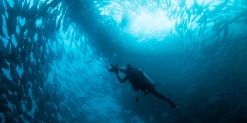
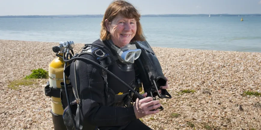
'Visibly observing' is only one way of exploring the ocean however. We may not be able to use telescopes to look down into the depths, but humans have found plenty of inventive ways of studying the ocean, as the collections of the National Maritime Museum make clear.

A woodend box containing samples of the sea bed taken during the Challenger expedition. The samples are protected within small round glass containers
Sea-bed samples from HMS Challenger, organised into trays. Using deep-sea sounding and dredging, the Challenger Expedition collected geological samples of deep-sea sediments that gave clues as to the nature of the ocean floor (NAV0843)

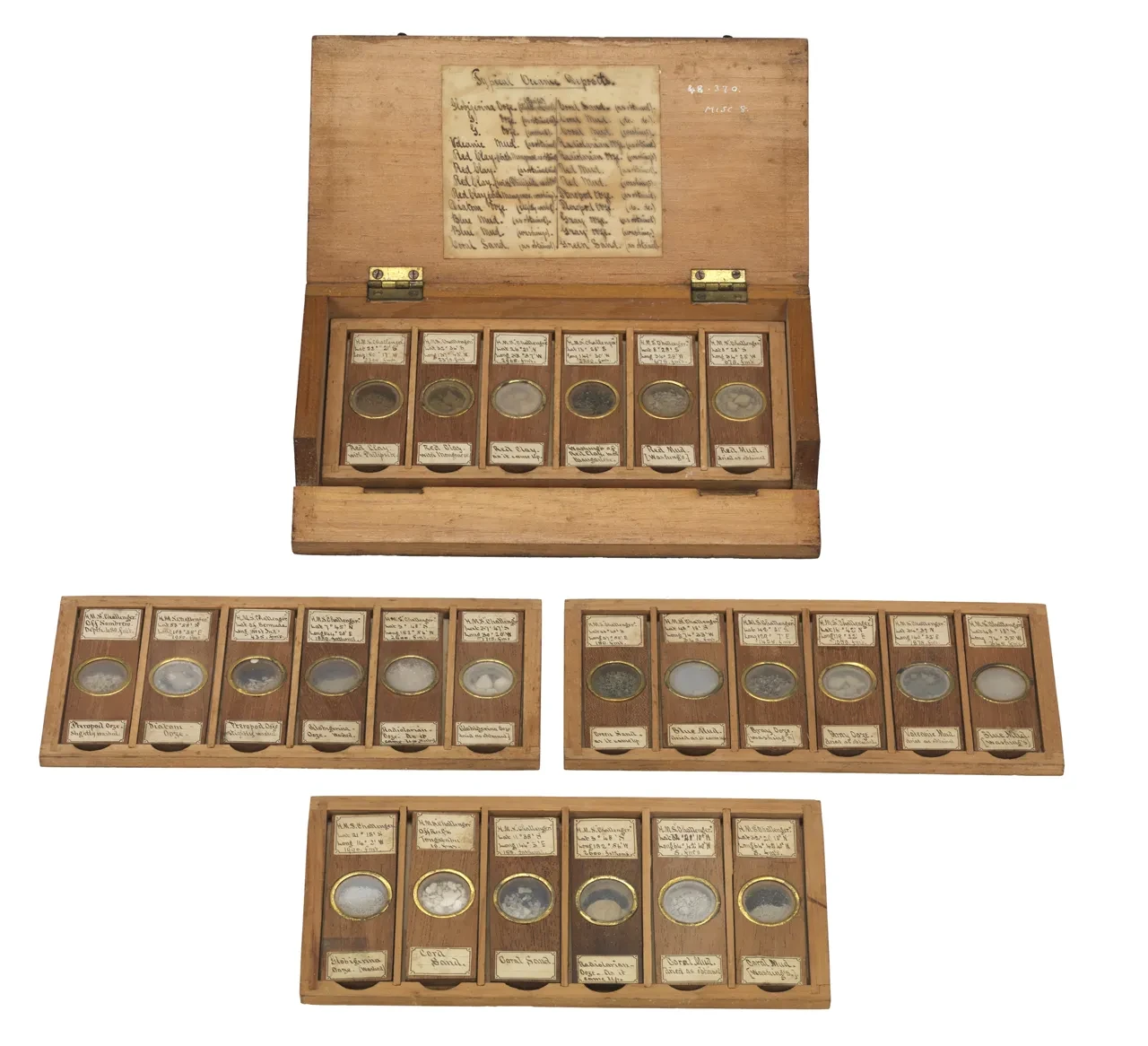
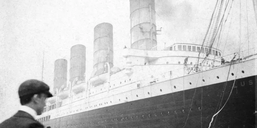
One hundred and fifty years ago for example, the British research ship HMS Challenger departed England on a quest to explore the world's ocean. Three and a half years later the ship returned carrying the largest collection of examples of life from the deep sea.

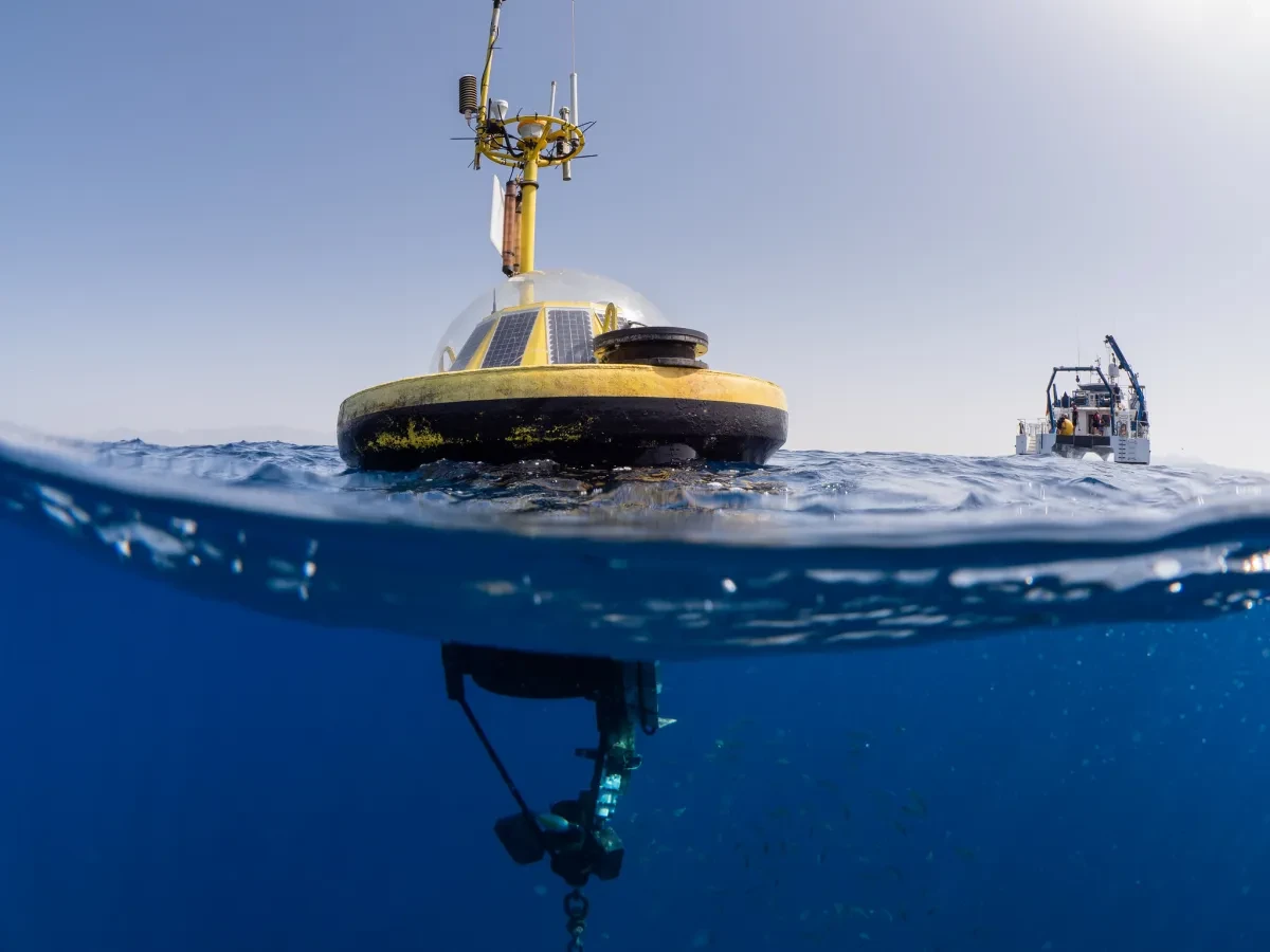
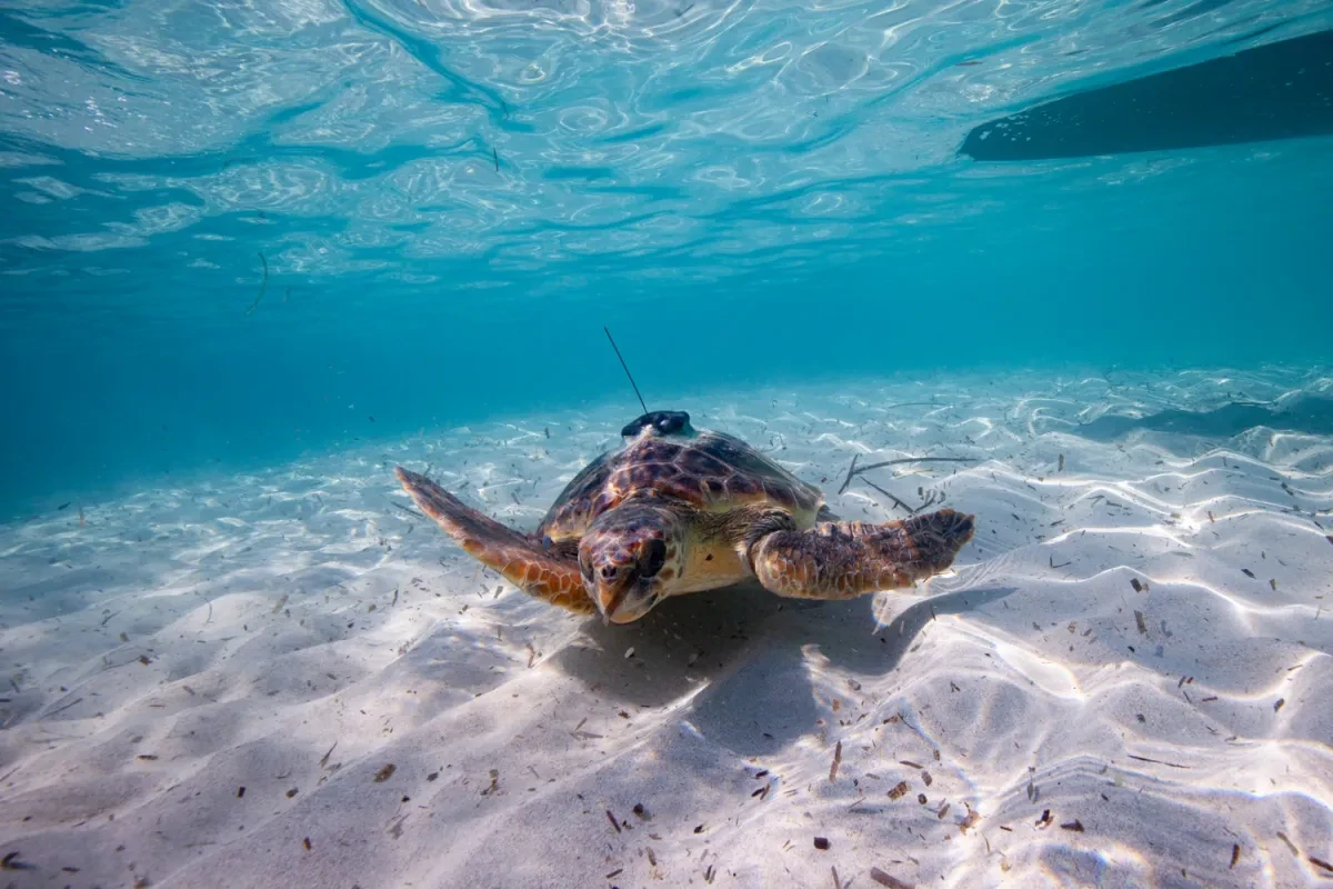
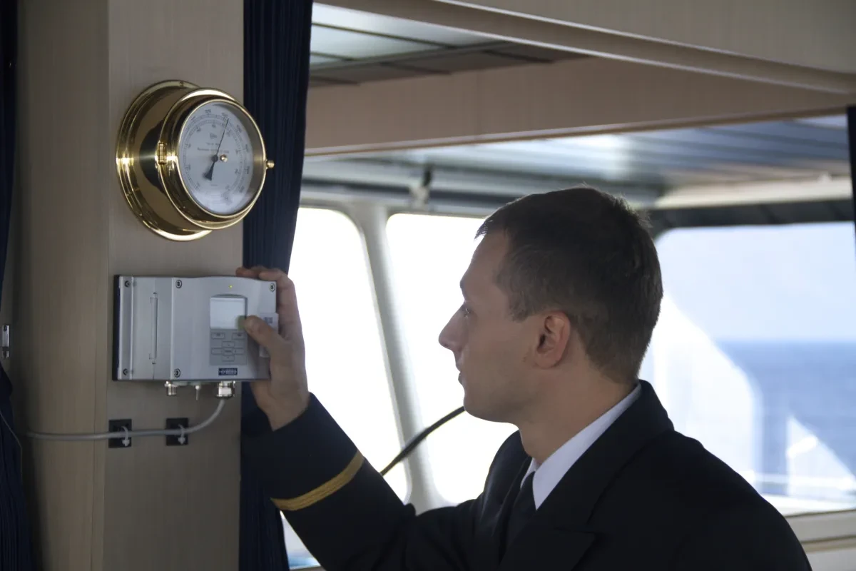
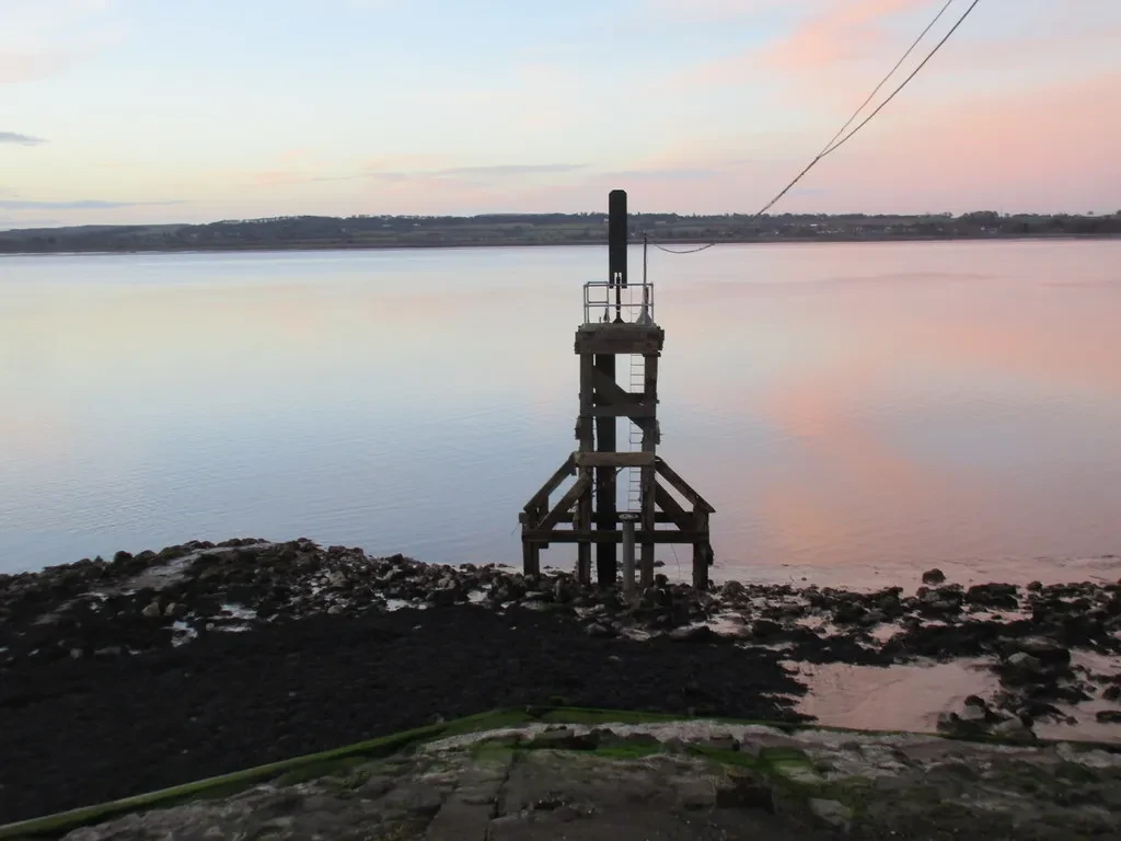
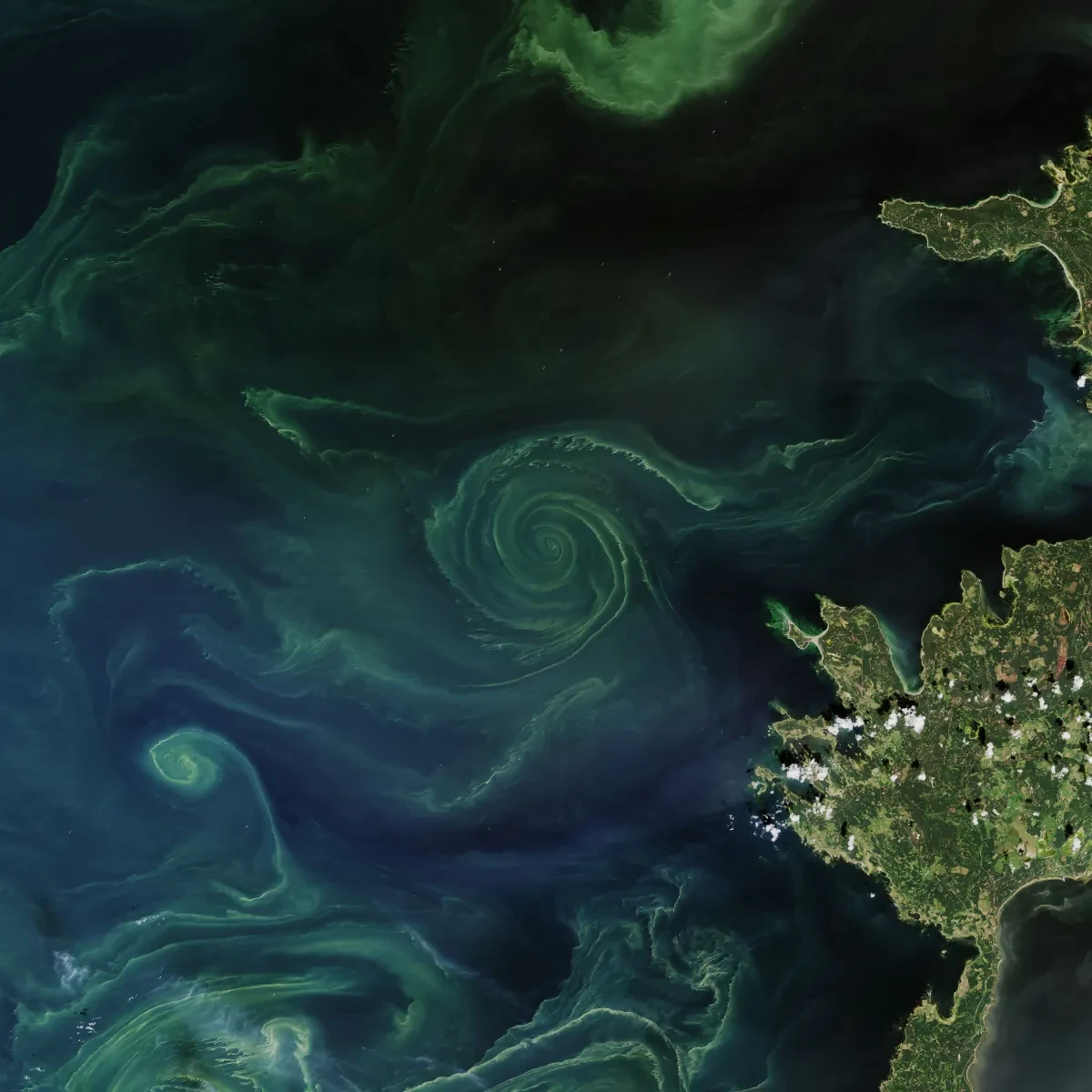
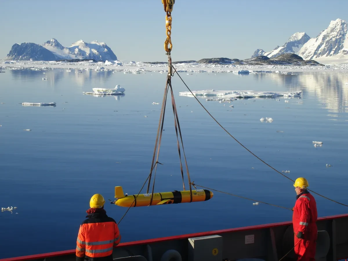
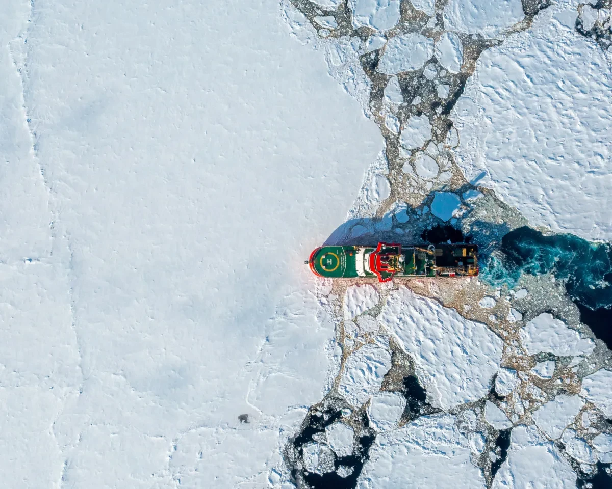
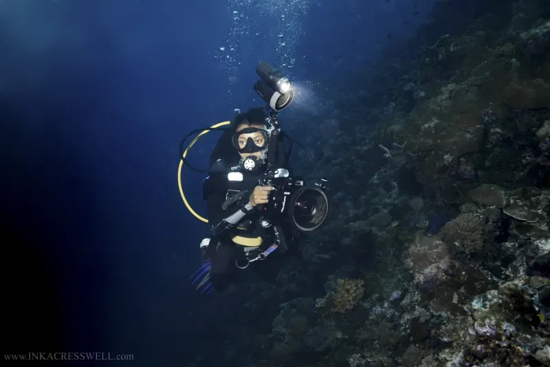
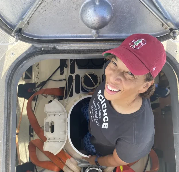
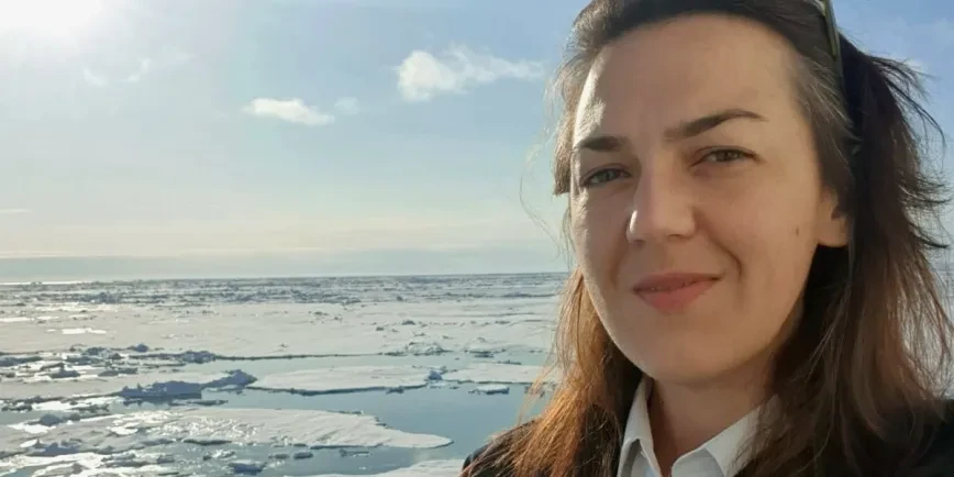
Challenger was a trailblazer, but technological advances have since transformed our understanding of the ocean. Today thousands of ships, satellites, buoys, robots and even animals are taking readings and sharing vital information about the waters of our planet. Wave heights and sea levels, current strengths, temperature, salinity, oxygen levels and even the colour of the ocean are measured. There is an ocean of data available to us.

Observing and monitoring the ocean helps us create forecasts and weather warnings, monitor fish stocks and food sources, measure the health of marine habitats and populations, and predict how the ocean might be affected by human-caused climate change.
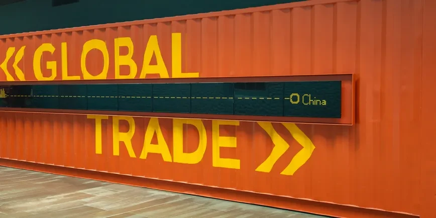
9 tools of the trade

Discover some of the methods and technologies that scientists use to observe and measure the ocean.

Tap to begin

1. Floats

Drifting robotic floats take many important measurements of seawater including temperature and salinity (how salty the water is). These floats are dropped from ships, sink to a certain depth and then drift with the ocean currents. After taking readings, they return to the surface to transmit the data before returning for another cycle. The Argo programme currently has a network of more than 4,000 active floats across the world.

2. Buoys

Buoys also contribute to ocean data. Some drift with the ocean, collecting both sea surface readings and information about the water beneath. Other buoys are fixed in place, helping scientists to observe how a particular area is changing. Some of these fixed moorings have been in place for many years.

Image: Miquel Gomila / SOCIB, CC BY-NC-SA 2.0 via Flickr

An image for '2. Buoys'

3. Animals

As well as recording marine life, scientists are beginning to recruit animals themselves as oceanographers. Creatures such as seals, turtles and penguins have been fitted with special sensors that can measure the waters that they live in as well as their location. The Animal Borne Ocean Sensors (ANIBOS) network helps us to measure the ocean in hard-to-reach places. For instance, the real size of Bahama Banks was only discovered in 2022 using a combination of satellite imagery, scuba-diving surveys and cameras attached to tiger sharks!

Image: M.Gomila/SOCIB via Ocean Observers

An image for '3. Animals'

4. The CDT

CTD stands for 'Conductivity, Temperature, and Depth', which are the basic measurements made by this vital instrument. Measuring the conductivity of sea water – how well an electrical current flows in sea water – tells us the water's salinity (how salty it is). Combining salinity with temperature can tell us how dense the water is at different depths. A CDT is lowered into the water using a cable from a research ship.

5. Observations from ships

A network of Voluntary Observing Ships (VOS) helps to record weather observations at sea and collect climate data. Ship crews are trained to take readings, and the data contributes to some of the weather forecasting and warnings services that all seafarers rely on. In 2024 the Global Ocean Observing System recorded a record 4.5 million observations.

Image courtesy of Global Ocean Observing System

An image for '5. Observations from ships'

6. Tide gauges

Tide gauges have been around for centuries, providing sea level measurements relative to the land where they were placed. Modern tide gauges often use radar to measure the height of the water. The sensor sends a signal down to the surface and measures the time it takes for the ‘echo’ to return.

Image: Jonathan Thacker, CC BY-SA 2.0, via Wikimedia Commons

An image for '6. Tide gauges'

7. Satellites

Sea level measurements in specific locations can be combined with information from satellites, which are constantly flying over the ocean and taking highly accurate global average readings. Satellites can now measure sea surface height to within three centimetres.

Satellites can also give us a wealth of other information about the ocean, including sea surface temperature and height, sea ice coverage, water colour and depth. They can also help us track levels of phytoplankton (microscopic plant life).

Image: NASA Earth Observatory

An image for '7. Satellites'

8. Underwater vehicles

A range of underwater vehicles help scientists measure the ocean and observe deep water environments for themselves. Gliders move up and down the water and can travel for many months, making them ideal for longer observing expeditions. Autonomous Underwater Vehicles (AUVS) or autosubs meanwhile may be used as part of a specific research project.

Image: Alex Brearley/British Antarctic Survey

An image for '8. Underwater vehicles'

9. Research vessels

Research vessels are ships and boats that carry out specific scientific missions. Scientists live and work in collaboration with the ship's crew and logistics teams to carry out important projects. Some ships, such as the polar research ship RRS Sir David Attenborough, are purpose-built for specific environments and projects.

Image: Jamie Anderson courtesy of British Antarctic Survey

An image for '9. Research vessels'

See the ocean differently

The Ocean Map at the National Maritime Museum reminds us how much of the Earth is covered by water – and how important the ocean is to our planet

Main image: The floor of the oceans based on bathymetric studies by Bruce C Heezen and Marie Tharp (G201:1/57)